
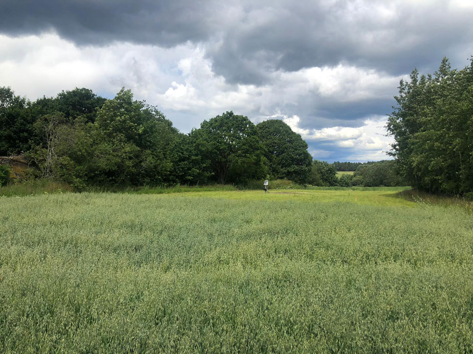
This project, the Vestfold Monitoring Project – is a three-year project run by Vestfold and Telemark County Council, the Norwegian Institute for Cultural Heritage Research and the Norwegian Institute of Bioeconomy Research to investigate how environmental factors like soil moisture and different soil and sediment types, may influence the contrast in ground penetrating radar data, used in archaeological conservation. By comparing data sets collected at a specific test sites under different conditions, the project aims to determine which conditions best serves the revelation of the archaeological structures in the area.
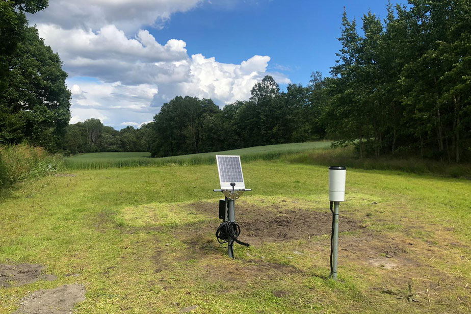
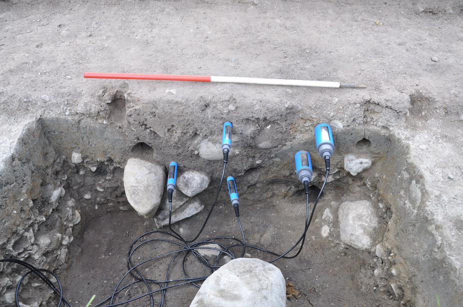
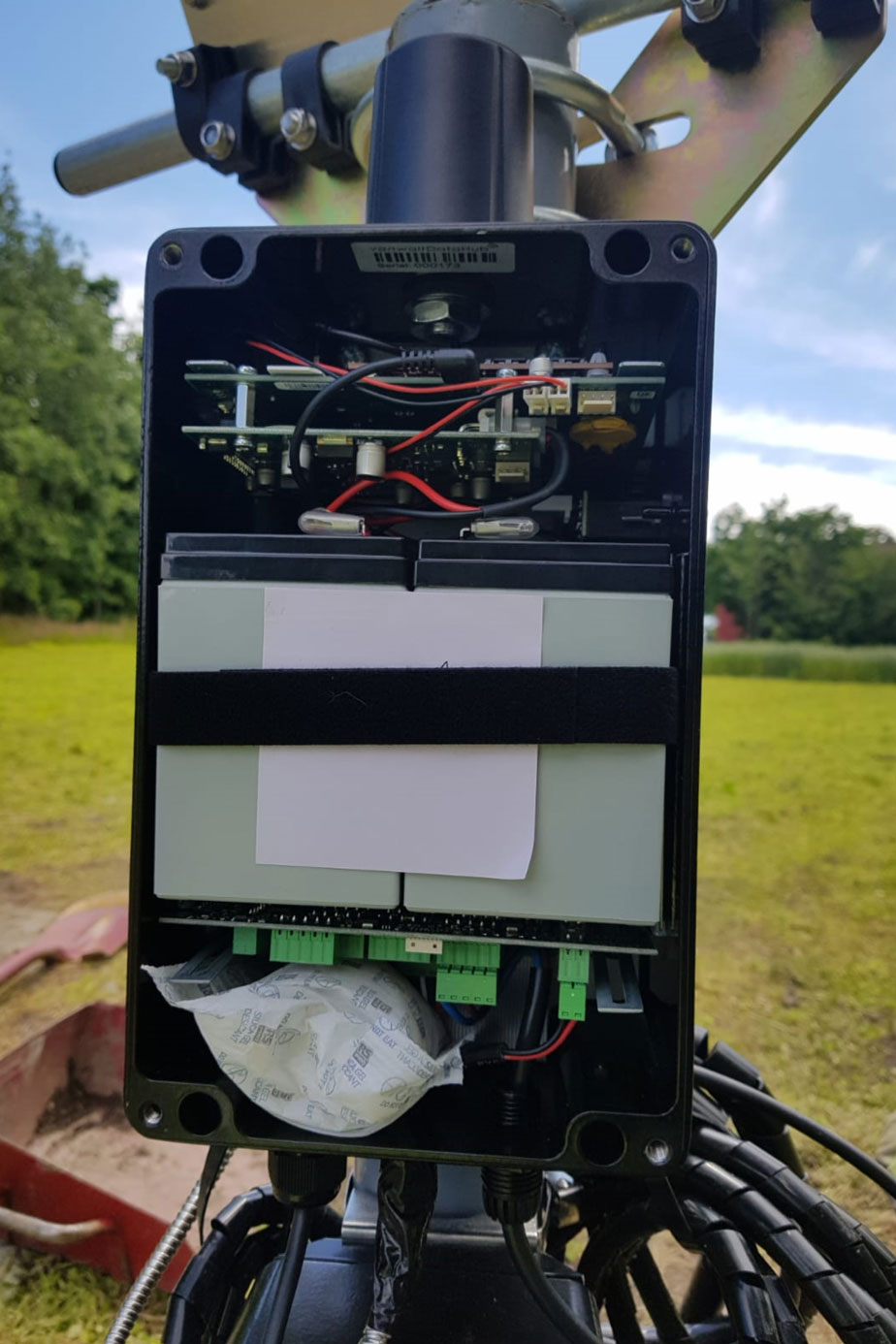
To provide a Data Collection Telemetry system including vanwaltDataHubs, meteo gauges and Imko Pico soil moisture probes across four monitoring stations in Vestfold County in Norway. At each station, we are measuring soil moisture and electrical conductivity of an archaeological feature (e.g. a posthole or a pit) and its surrounding subsurface material in order to capture the contrast. Data is uploaded regularly to enable the team to analyse and build a profile of the ideal soil conditions.
Photo Credit: Dr Petra Schneidhofer
From site survey to installation, we partner with you at every stage. With over 40 years of experience, our team can guide you to find the best solution for your application. Contact us to discuss your project.